


Historical Route through Breda - Explore Royal Breda
Walking route - 3.9 km
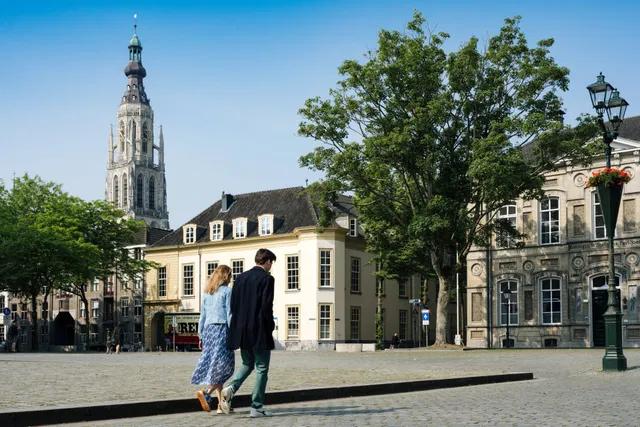
City walk
As an outdoor enthusiast, you can easily make use of the junction system; a network of beautiful and clearly marked paths.
Each junction has its own number. By walking or cycling from one junction to the next, you create your own route. Along the paths, there are signs displaying the junction numbers and arrows that guide you in the right direction. At each junction, there is also a panel with a route map, so you can always adjust your route. Additionally, the distances between the junctions are indicated here.
In Breda, there are various walking junctions through the city centre. However, most of the junctions are located in the nature reserves of Breda. For example, the Mastbos, Liesbos, and the Ulvenhoutse forest. The signs can be recognised by their green colour with yellow icons.
You can also create your own node point route by bike! You can choose between paved or unpaved paths. Of course, you can also decide whether you want to cycle in the city or in nature.
Walking route - 3.9 km
Walking route - 5 km
Walking route - 5.5 km
Bicycle route - 27 km
Walking route - 3.6 km
Bicycle route - 23 km
Walking route - 2.5 km
3 May 2025 and more
31 August 2025


